Dean & Ginny's excellent adventures...  Main Adventure Page

Panama Cruise--2012: << Part 1  << Part 2  << Part 3  << Part 4  << Part 5   Part 6  Part 7 >> Part 8 >> 
Part 9 >> Part 10 >> Part 11 >> Part 12 >>

Cabo San Lucas, located on the southernmost tip of the Baja Peninsula, is our last stop before we reach San Diego, our turnaround point.  There is no dockage for cruise ships, so we anchor offshore along with a Carnival cruise ship, which is somewhat larger than ours. We are loaded into tender boats for the trip ashore. 

This is the view of Land's End (the last bit of land of the Baja Peninsula) as we exited our ship looking over the tender's roof. Our plan is to hike out to the beaches out there between the rocks.

Some guests require more aid to step from the loading platform onto the tender. The choppy water made it a little tricky to time your step when the platform and the tender were more or less even.

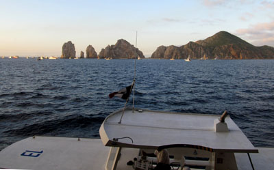
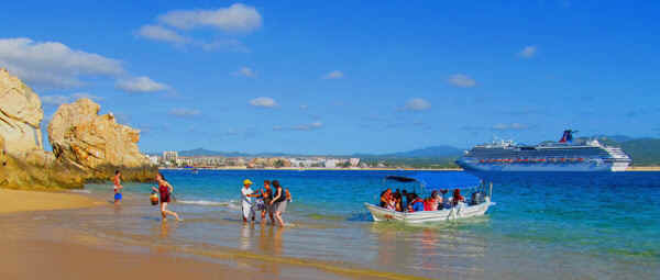
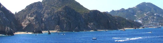
As we come into the harbor here's the overall view of the city. The big gray thing in the center is a relatively new civic center. We thought it did not fit the the city and its environs, but what do we know?

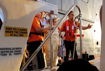
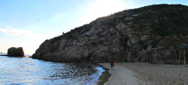
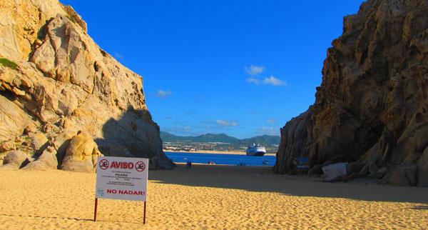
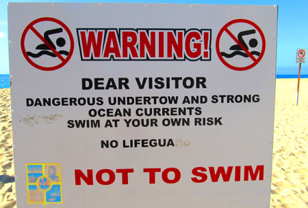
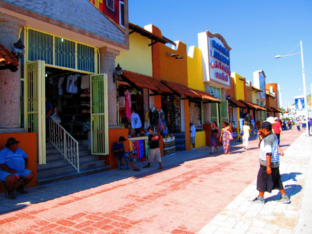
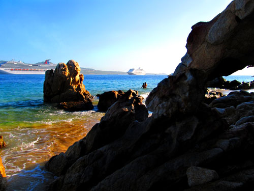
We walked by an empty beach on our way out to the point. With two cruise ships in port, this beach will fill quickly.

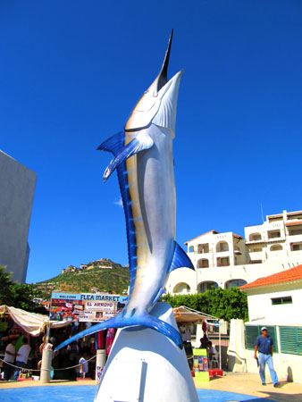
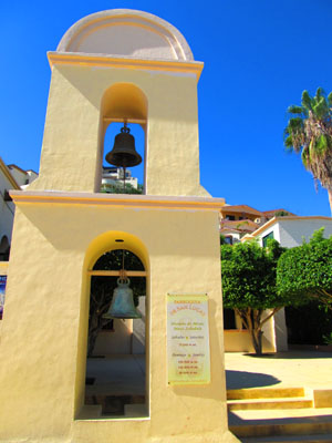
We stopped at the harbormaster's office to inquire about the tides. Low tide will be at noon. We'll need to be back before then. This cool marlin gate was across from the harbormaster's office.


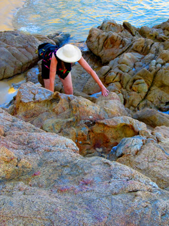
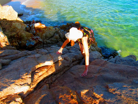
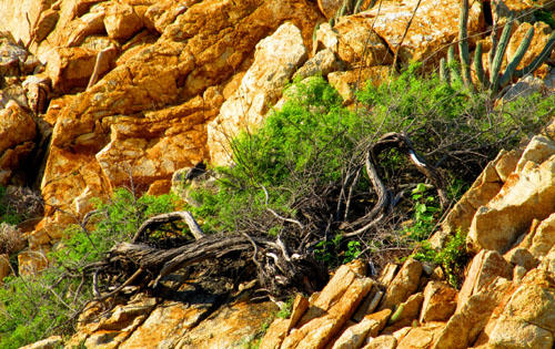
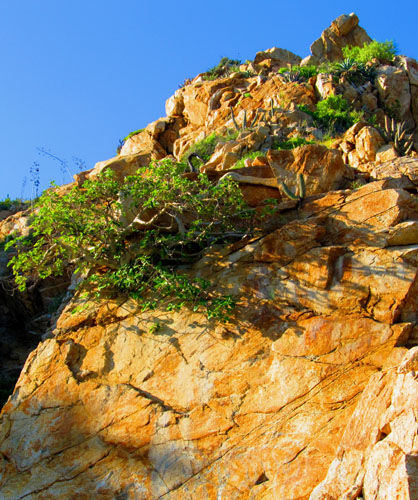
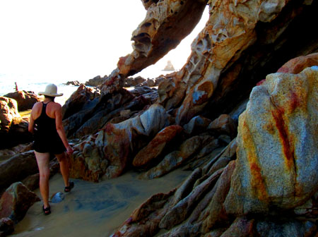
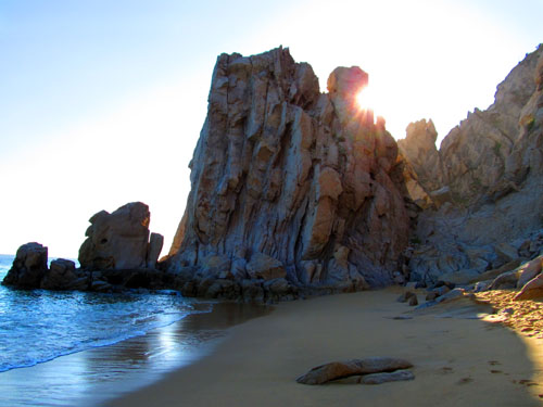
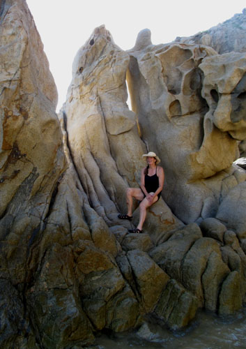
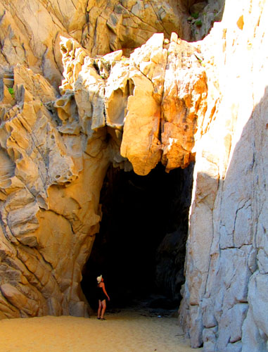
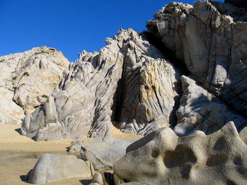
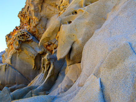
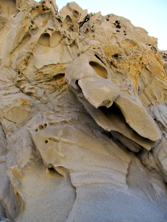
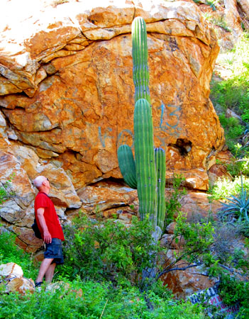
We had to do some scrambling over the rocks.


Plants have to be tough to make it in this rocky environment.


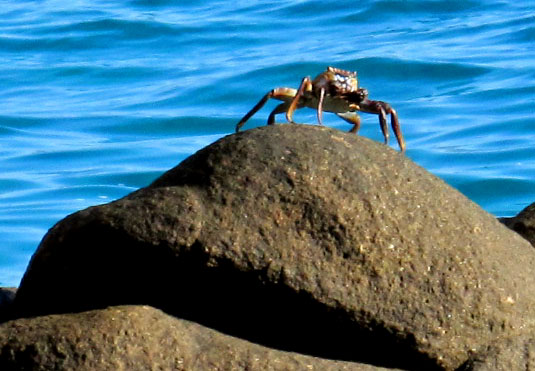
We were not totally alone out there on this series of beaches, a great blue heron kept an eye on things.


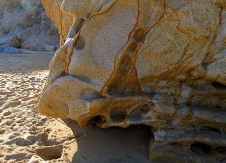
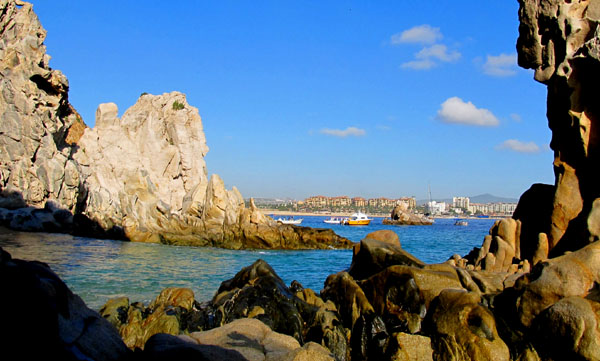
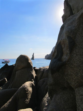
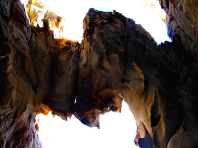
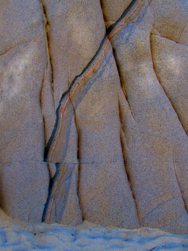
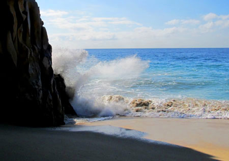
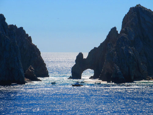
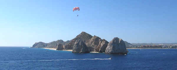
The rocks were variously colored. Pelican rock is aptly named and is a well-known diving and snorkeling spot.


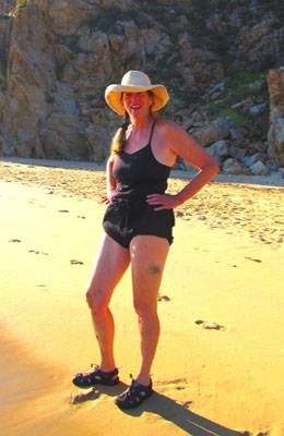
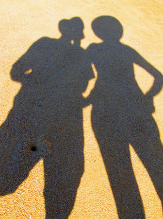
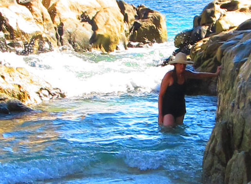
It wasn't long before I'd shed my blouse and tucked my long gauze pants up into my underwear giving the appearance of bloomers. I thought I could keep dry this way, but no...

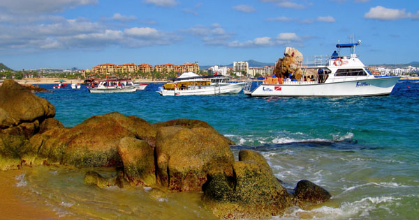
We noticed some dive and snorkeling boats bunching up around Pelican Rock as we look back.


There were a number of caves out amongst the rocks, some of which are are shallow like the one to the left, but others are more substantial like the one above and below.


We loved this rock, which has obviously shifted during an earthquake, but not too recently, because the creases in the stone were formed during a later era. >>


And so we reach Lovers' Beach which spans the distance from the bay to the Pacific. Except for a local couple we are alone...

<< Looking back out of this cave, the stones making up the arch look like a horse and a buffalo butting heads.


You can see why these are called golden beaches...


After exploring the beach from one side to the other, it's time to head back...

and just in time, as the tourist boats bring bunches of people.

Even though the tide is somewhat lower as we make our way back along the beaches, it's still an adventure. Here I hang on to the rock as the swell rushes through this narrow channel.

As we go by Pelican Rock, the boats are jammed in there. We can't imagine how the diving could be much good here with all the other people around and with this amount of traffic on one day, the site must be over-dived.


This Saguaro cactus is probably well over 100 years old. These turkey vultures work on a fish.


As we come back into civilization I had untucked my gauze pants so they were long pants again and put my shirt back on so I was more presentable, if a little damp. Here, you can find just about any type of boat trip, the market places are now open, and the beaches here are full of people. 


This is the marlin fishing capital of the world. This statue commemorates the largest one ever caught. Meanwhile, Mariachis serenade diners.  

We love these sidewalk cafes off on side streets and we'll come back to the one with the rustic roof over its sidewalk.

We had asked directions to a park and this one was cute. We sat on a shaded bench for a spell. 


There was a nice tiled gazebo and a whale skeleton.  Then we continued walking the town.


This restaurant had a people theme: look at at the backs of the bar stools and the banister. 

We found this small, quaint church. The broken tablet outside the main entrance tells the history in English and Spanish. 

I was suffering from hat hair, but is was nice to sit in this sidewalk cafe to enjoy a cold beer far from the madding crowds. In the next restaurant up the sidewalk, someone took a clue from Key West with their mile marker 0. This is the southernmost tip of Baja, so the principle is the same.

We head back to the tender dock and take a hot shower with our clothes on to rinse away the salt water.  Then we are ready for the sail away.


This photo shows the overall view of the trip up the beaches and over the rocks to Lovers' Beach. What a great adventure.

Two views of the famous archway. We did not get this far, but had it been low tide we could have made it.

Adios, Cabo San Lucas. It's been fun!

On to the second leg of the cruise... >>

Main Adventure Page

Top of page:

© Sky-Bolt Enterprises 2001-2012